Station Selected:

Share
MADISON, Wis. (CIVIC MEDIA) – After an unusually warm winter, breaking records alongside a snow drought, we welcome Spring with as many as 4 potential snow storms taking aim at the state.

It’s as if Mother Nature can’t figure out what to do. An unusually warm winter, lead to a record low level of snowflakes covering parts of the states ground. Now, as we’ve ironically officially sprung into Spring on Tuesday, big storms are lining up to peg Wisconsin.
Winter Weather Advisories are out for most of Wisconsin now.
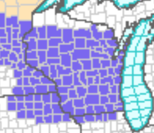
Beginning by 7pm for western cities like La Crosse and starting at 1am in Milwaukee and Madison. It’s expected to expire from 10am to 1pm, eastward across the state.
Snow ramps up between the hours of 3AM to 8AM. Snowfall rates could be coming down at a 1/2″ to 1″ per hour. Timing of the heaviest snow, strikes right at our Friday morning commute.
A majority of Wisconsin can expect 2-5″, as pictured below by the recent HRRR model run.
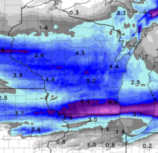
Areas likely to be hit the hardest of 6″+ lie mainly into southcentral parts of the state.

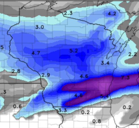
A model called the GFS is pictured above showing the potential swath of higher snow totals. But another model called the NAM, pictured below splits the heavier snow and sends more north.
Either way, prepare for a heavy, wet and slushy snow type. Take your time shoveling, it’s coined the “heart attack snow”, from people overexerting themselves while trying to clear it. Take frequent breaks or ask a neighbor for help.
Areas like Prairie du Chien, Boscobel and even potentially Richland Center could see some freezing rain and ice accumulations. Regardless, the roads will be slick and slippery for a majority of the state soon.
After months of barely any winter driving, our Highway Department’s are urging people to drive slow and keep your distance from plows.
- It’s best to never pass a plow.
- By law, you need to stay at least 200 feet behind a working snowplow.
- If you can’t see their mirrors, they can’t see you.
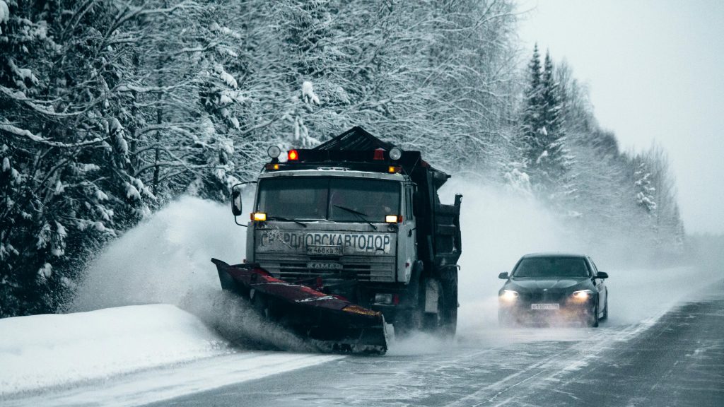
You can keep up with road conditions in your area and see local cameras displaying highways, by visiting WI511.
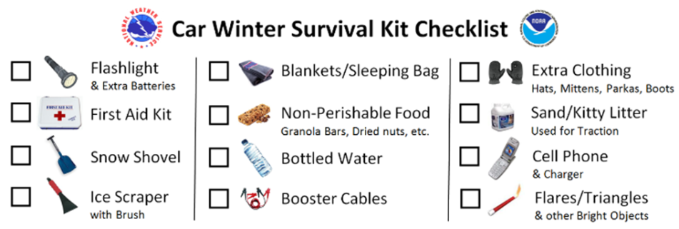
Before you hit the road, remember your winter weather emergency kit.
The next snow storm is arriving on Sunday and has the potential to pack an even bigger punch – that is, as long as the temperatures don’t get too warm and bring mainly rain.
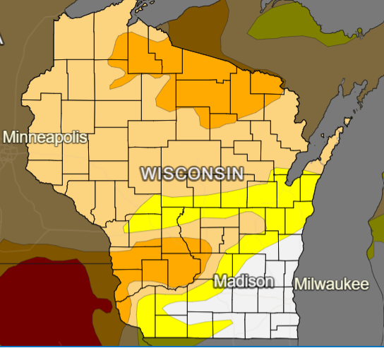
After that, a total of two more storms want to strike over the next 2 weeks. One is on track to hit by the end of next week, Friday and into the weekend. With the next close behind, with an ETA of Monday April 1st-3rd. From heavy hitting snow to needed rain, the precipitation is still welcomed as 72% of the state is in a drought.
As you plan ahead, the timing and intensity of these storms, may cause slick and slippery trouble for your Easter holiday travel plans.