
Source: Wisconsin Department of Natural Resources
Sep 10, 2025, 10:00 AM CT
Share
MADISON, Wis. (CIVIC MEDIA) – The Wisconsin Department of Natural Resources improved their air quality data map to help the public stay “air aware.”
The new map updates offer a user-friendly, app-like experience.
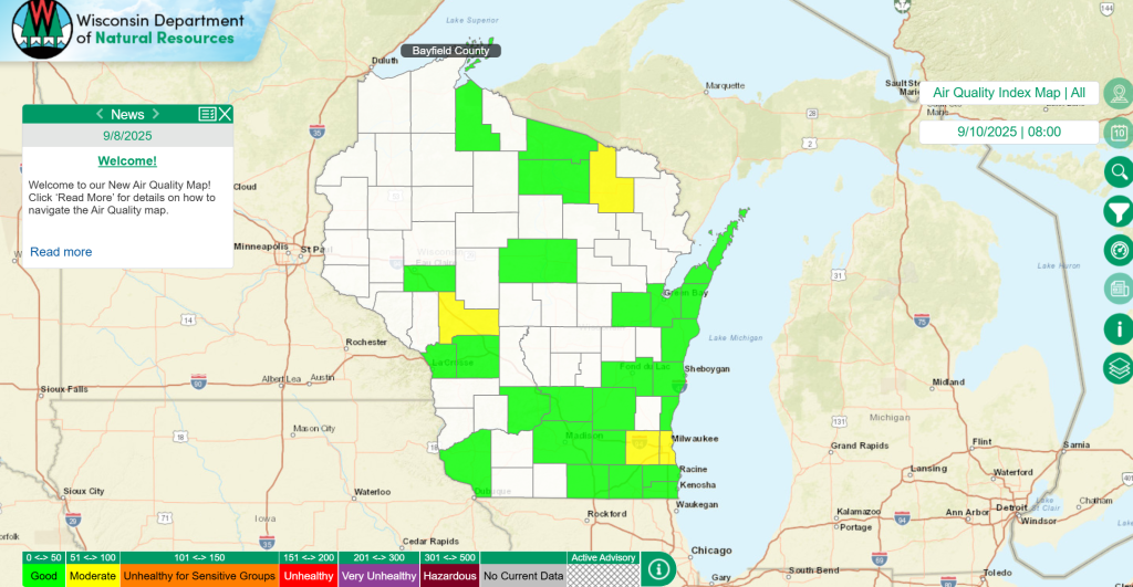
Changes include:
- A new advisory banner, with critical air quality updates instantly visible.
- Zoomed out counties are colored coded, zoom in and you can see the AQI levels for specific towns.
- A dedicated “News” text box on the landing page with important updates like air quality advisories and other detailed information.
- A set of map menu icons on the right side of the screen, eliminates the need to search through dropdown menus.
- A new “Orange or Above” AQI filter makes it easier to quickly see when air quality reaches levels that could impact health. You can also filter certain pollutants, like ozone, NO2, carbon monoxide and sulfur dioxide.
- Also available, meteorology! From barometric pressure to precipitation totals, temperatures, wind speeds, humidity and solar radiation readings.
- You can also sign up to receive air quality advisory notices from the DNR via email.

Brittney Merlot is Civic Media’s Meteorologist. Email her at brittney.merlot@civicmedia.us.
Want More Local News?
Civic Media
Civic Media Inc.
The Civic Media App
Put us in your pocket.
