
Source: Kory Hartman
Jul 17, 2025, 9:47 AM CT
Share
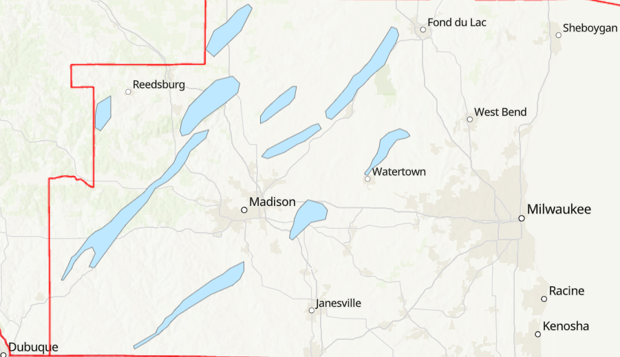
MADISON, Wis. (CIVIC MEDIA) – Damage surveys are underway to find strength and distance twisters that may have traveled through parts of Wisconsin.
NWS Milwaukee/Sullivan’s survey team confirms an EF-0 tornado with estimated winds of 70 mph touched down southwest of Hustisford around 3:22 p.m. on Wednesday, July 17, 2025. It was on the ground until 3:36 p.m., lifting near Grey Road and Wildcat Road, northeast of town.
In Iowa and Dodge counties, teams were out early Thursday morning looking at spots where videos and pictures of a twister were taken from. The NWS reports mainly tree damage seen so far as they are trying to track down where they may have hit in fields.
Another confirmed brief EF-0 tornado northeast of Beaver Dam, with estimated winds around 65 mph. It was on the ground for less than a minute in mostly corn fields and tree lines near Buckhorn Road and Breezy Point Road.
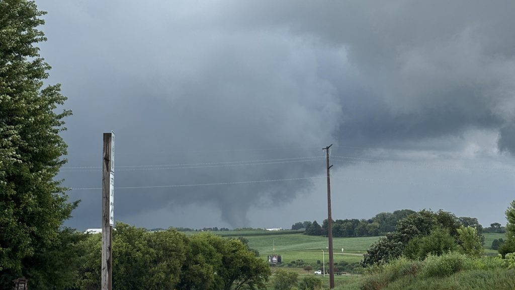
@NWSMilwaukee looks like it’s in the ground east I’d Dodgeville pic.twitter.com/eDQvDiwTcN
— John the Owl Whisperer 🦉 (@JohnKivikoski) July 16, 2025
Crews have found a third confirmed area of tornado damage south of Sauk City. Rated and EF-0 with max winds of 80 MPH. Swaths of uprooted trees were seen along the path, and shingles damaged on a home.
The NWS says they are trying to move as fast as possible to try and investigate the entire area Thursday.
Reports of tornadoes came in from at least seven different towns between 12 and 4 p.m. Wautoma and areas of the Fox Valley also experienced significant flash flooding, with cars submerged.

Brittney Merlot is Civic Media’s Meteorologist. Email her at brittney.merlot@civicmedia.us.
Want More Local News?
Civic Media
Civic Media Inc.
The Civic Media App
Put us in your pocket.
